


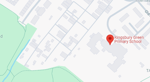
Our homes
I can find my home on an aerial photograph and a large-scale plan or map.
Our homes
I can find my home on an aerial photograph and a large-scale plan or map.
These resources will be removed by end of Summer Term 2025.
Lesson details
Key learning points
- Aerial images and large-scale maps can be used to find and identify our homes and other familiar features.
- Locational vocabulary is used to describe the location of our homes and other local features.
- There are different types of homes: terraced/semi-detached/detached houses, flats, bungalows, cottages, etc.
Keywords
Aerial photograph - An aerial photograph is a picture of an object or place that has been taken from above.
Large-scale plan - A large-scale plan is a drawing from above that shows the area in detail close-up.
Locational language - Locational language describes the location or place of something in relation to something else.
Label - A label is a word or phrase added to a map, a photograph or a diagram to identify a feature.
Home - Home is the place where you live.
Common misconception
All houses look the same from above.
You can identify that some houses have flat roofs while others have pitched roofs.
To help you plan your year 1 geography lesson on: Our homes, download all teaching resources for free and adapt to suit your pupils' needs...
To help you plan your year 1 geography lesson on: Our homes, download all teaching resources for free and adapt to suit your pupils' needs.
The starter quiz will activate and check your pupils' prior knowledge, with versions available both with and without answers in PDF format.
We use learning cycles to break down learning into key concepts or ideas linked to the learning outcome. Each learning cycle features explanations with checks for understanding and practice tasks with feedback. All of this is found in our slide decks, ready for you to download and edit. The practice tasks are also available as printable worksheets and some lessons have additional materials with extra material you might need for teaching the lesson.
The assessment exit quiz will test your pupils' understanding of the key learning points.
Our video is a tool for planning, showing how other teachers might teach the lesson, offering helpful tips, modelled explanations and inspiration for your own delivery in the classroom. Plus, you can set it as homework or revision for pupils and keep their learning on track by sharing an online pupil version of this lesson.
Explore more key stage 1 geography lessons from the Local area: where do we live? unit, dive into the full secondary geography curriculum, or learn more about lesson planning.

Licence
Lesson video
Loading...
Starter quiz
6 Questions


Exit quiz
6 Questions
A picture taken from above
A map that shows a small area in detail
A map that shows a large area without a lot of detail